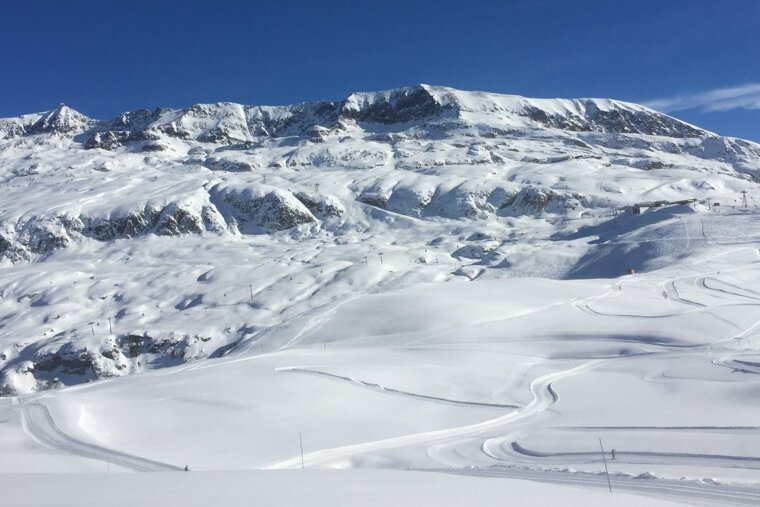
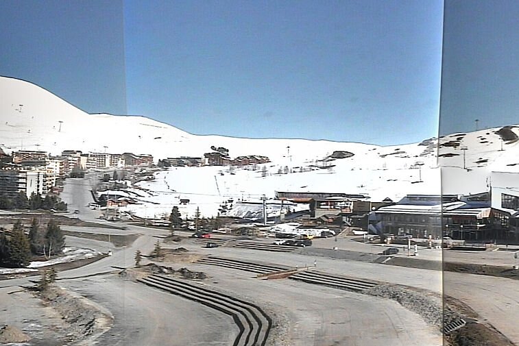
If you subscribe to our dump alert service, you will be aware that, over the weekend and into Monday, we had significant heavy snowfall in Alpe d’Huez. Initially, we awoke on Sunday morning to around 5cm of fresh snow but it was only the precursor to the snow later on Sunday. In total, around 25cm to 30cm fell in resort and it looks like being a very snowy week here as well.
After today's brief sunny hiatus, more snow is forecast for Tuesday night into Wednesday, a further 15cm, and then on Wednesday itself (10cm), Thursday (21cm), Friday (30cm) and Saturday (30cm) – giving the potential for a whopping 90cm between now and the weekend.
This snowy period of weather is due in the main to the sudden southerly shift in the position of the all-important Jetstream, that now sits directly above the Alps – albeit some 16km up in the stratosphere. This southerly shift has resulted in a huge swathe of cold Arctic air sweeping down from Scandinavia and the resultant meeting with moisture-laden Atlantic air over the Alps has brought widespread snowfall to the region.