After a few mild days here in Alpe d'Huez it’s all turned cold and white again. We had a great refresh of snow on Tuesday and overnight into Wednesday with the freezing level way down below resort level. This is due to a cold front reaching us and will likely remain in place until at least Sunday, keeping those temperatures down.
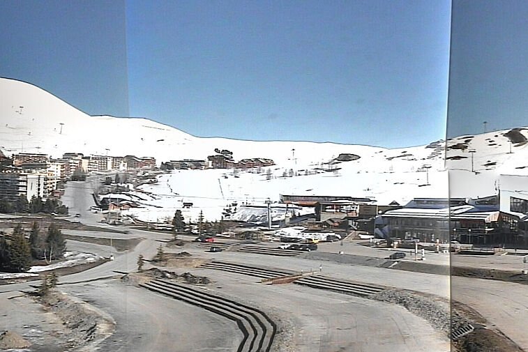
Current weather in Alpe d'Huez
From today for the next couple of days we have a mixture of sun and clouds and a few snow showers. It will remain very cold during the day and at night with freezing temperatures dropping to around -8°C by Saturday night, but feeling a little colder.
However from Sunday which will still remain cold, it’s looking like full bluebird sunny days and the temperatures will rise from Monday with the freezing level up to about 2,000m during the day and down to around 1,500m at night
Sunny week coming up
Looks likely to stay dry, warm and sunny until at least next Friday, due to a high pressure area coming up from the Azores. There is a chance of precipitation next weekend, but that is way too far out to call accurately.
You’ll need plenty of sun screen when you’re out on the slopes and your sunglasses. Never underestimate the power of the sun in the mountains and the glare of the snow!
Avalanche risk
Avalanche risk is currently set at 3 (considerable) over 2,800m and lower it’s at 2 (moderate) below. There could be weak layers now hidden under the fresh new snow we had Tuesday. The more avalanche prone locations are to be found on steep shady slopes above the treeline.