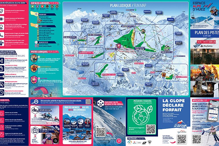
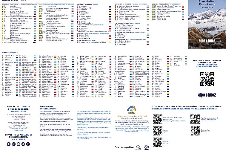
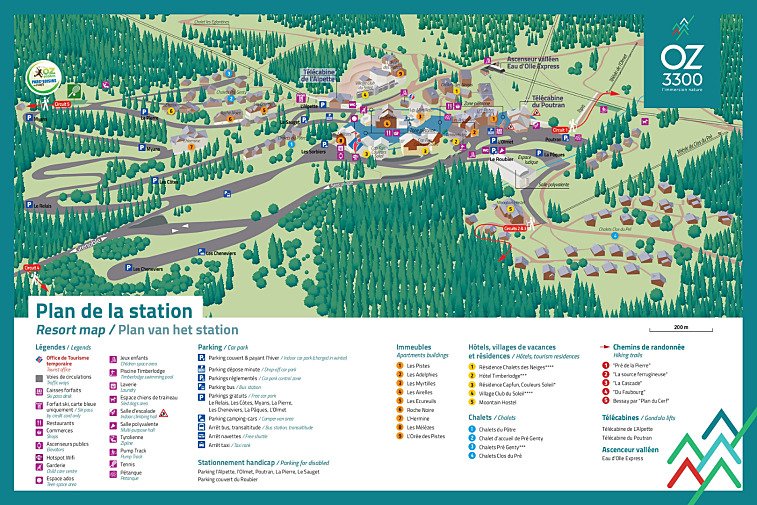
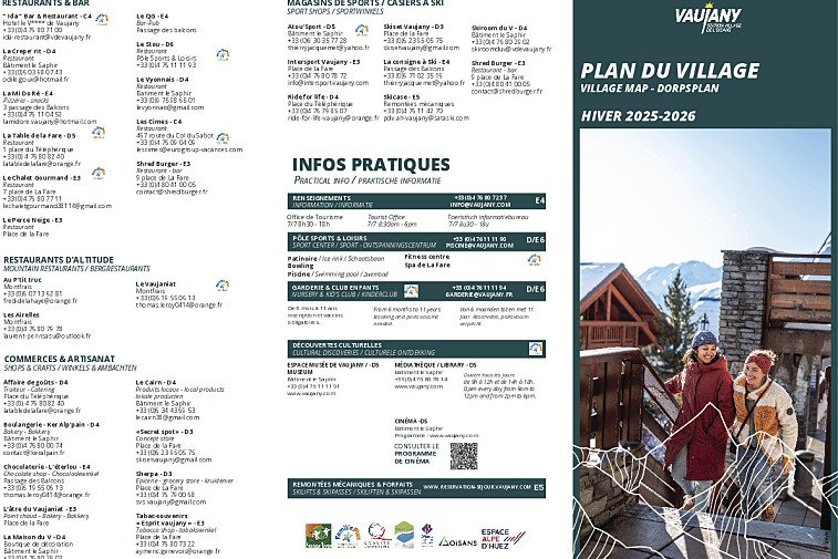
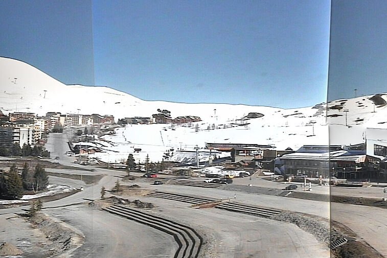
Download the latest ski maps, town maps and trail maps for Alpe d'Huez.
The main resort of Alpe d'Huez is made up of eight small districts, or 'quartiers':
- Huez Village
- Cognet
- Jeux
- Bergers
- Eclose Est
- Eclose Ouest
- Viel Alpe
- Outarts
Help support this website. Buy your ski passes direct here at no extra cost.

Download the essential Alpe d'Huez maps and plans
Download the latest ski maps, town maps and trail maps for Alpe d'Huez.
The main resort of Alpe d'Huez is made up of eight small districts, or 'quartiers':
The ski lifts are marked on the piste maps using straight black lines. There are four types:
If you see anything marked 'express', that means a fast, six-person chairlift.
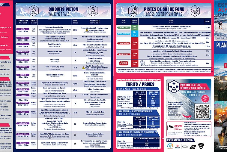
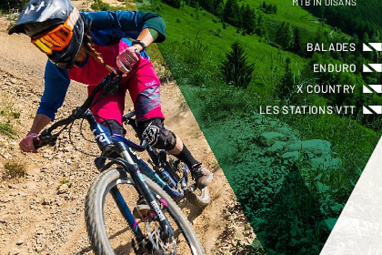
Don't ski or snowboard? No problem. Alpe d'Huez has plenty of snowshoeing trails where you can experience the clear air and crunch of fresh snow.
Find out all about what is happening in Allpe d'Huez and how to make the most of your time here. The latest news, reviews of fun activities, current events and the trendiest restaurants, as well as interviews with leading locals, insider's guides and our top choices for things to do, see and experience in the valley. Plus, during the winter season, our famous snow reports and dump alerts all in the same place.
See allLatest News & ReviewsAlpe d'Huez hosts a wide range of events throughout the year. In the winter, you can expect motor racing on ice, comedy festivals, ski races and various live music gigs. During the summer months, the focus turns to cycling with the Tour de France usually passing through town. The Megavalanche, a mass-start mountain bike race that draws thousands of MTB fans from around the world, takes place in July.
See allUpcoming Events