Winter is settling in across Alpe d’Huez and the upper slopes are beginning to show some encouraging early season form. The village has turned noticeably colder this week and the mountains are looking whiter each morning. There is a steady sense of anticipation building as more terrain prepares to open and the recent light snowfall adds a fresh layer to the higher pistes.
Snow & Weather Summary
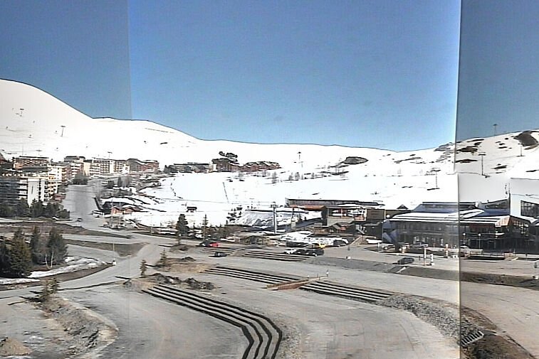
Latest figures list around 90 cm of snow at altitude and approximately 20 to 25 cm at resort level. The mountain has picked up small but consistent snowfalls in recent days which have helped improve the quality of the upper pistes. Forecasts suggest another light top up this weekend with around 3 to 5 cm possible higher up and freezing levels fluctuating between 1800 and 2200 metres depending on cloud cover. Temperatures remain cold at altitude which is helping preserve the existing base. Lower slopes continue to rely more heavily on snowmaking and natural cover remains thinner at village height. On the higher runs the snow feels firm in the morning with softening in the early afternoon. The lower sections are more variable and still need further snow before they can be considered reliable.