Alpe D'Huez is in good mid February form this week, with the sun breaking through between passing fronts and the higher slopes looking properly wintry again. The Pic Blanc and upper sectors are holding their snow well and there is a steady half term buzz around town without it feeling overcrowded on the mountain. With fresh snow already this week and a more substantial system forecast shortly, the season is shaping up strongly as we move into the second half of February.
Snow and Weather Summary
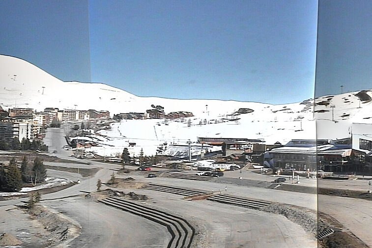
Current snow depths sit at around 85 cm in resort at 1850 metres and approximately 165 cm on the upper mountain, with close to 180 cm reported near 3300 metres on the Pic Blanc sector. Around 10 to 20 cm of new snow has fallen above 2000 metres over the past few days, refreshing pistes and improving edge hold on steeper terrain. Lower runs back to resort remain well covered but have seen firmer conditions in the mornings and slightly softer snow by mid afternoon where exposed to the sun.
Daytime temperatures in resort have ranged between minus 1 and plus 4 degrees, with overnight lows down to around minus 6. At altitude, temperatures have stayed colder, typically between minus 9 and minus 4 degrees. The freezing level has varied between 1700 and 2100 metres during brighter spells, dropping again overnight. Winds have been moderate at times on the highest lifts but largely manageable, with only brief slowdowns rather than widespread disruption.
Forecast models are pointing towards a notable snow dump arriving late Friday into Saturday, with current projections suggesting 25 to 45 cm of fresh snow above 2200 metres and 15 to 30 cm possible around resort level if temperatures hold. This should significantly improve coverage on the lower slopes and provide a welcome refresh across the whole ski area.