Well it looks like spring skiing could be nearly upon us and the crowded school holiday pistes are behind us! However the cooler temperatures seem to say otherwise. Yes we would all like a little more snow but the skiing and snow conditions are mainly still very good and the pisteurs are doing an amazing job keeping the pistes in good condition. Luckily the colder temperatures are helping to preserve the snow that we have. We’ve mainly enjoyed a sunny but cold and quite windy week here in Alpe d'Huez. Fun fact: So far this is the driest winter in The Alps since 1964. Sadly no decent snowfall to speak of in the last week but that could all be about to change...
The freezing level is remaining around 1400 - 1800 metres in Alpe d'Huez at the moment. The temperatures are gradually falling a little more over the next few days due to polar air coming in from the north east and will be down to around -12°C by Tuesday evening with the freezing level at 800 metres. It is on Tuesday that we see the first signs of snowfall, currently around 25cms is forecast. With talk of the possible “retour d’est” in the Alpes - this is an easterly weather front that causes a sustained and intense period of precipitation. From Thursday 9th for a few days heavy snow is forecast - maybe time to get those powder skis out again!
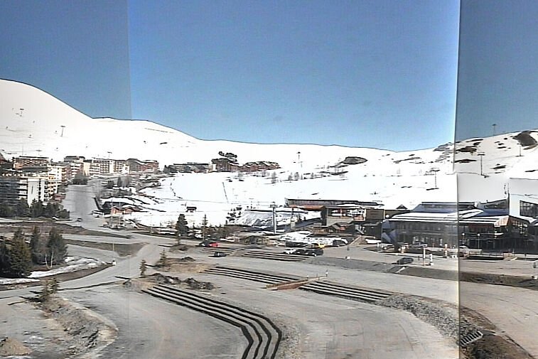
Photo above shows the great snow conditions in Alpe d'Huez - shot by letthisroadbemine
Below video show the real current snow conditions in Alpe d'Huez from Cookiesport